
Richmond Run: Day 5
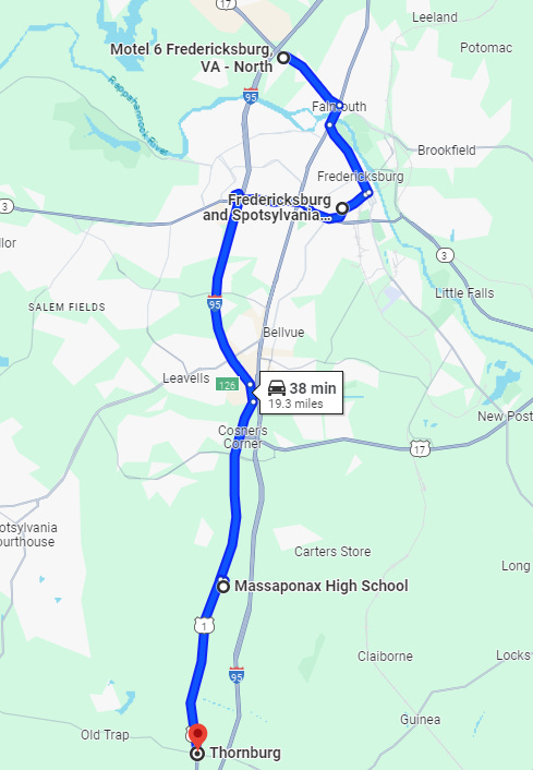
Fredericksburg, Thornburg

I get up around six and leave Motel 6. No sign of the tweakers other than the chairs still sitting around the pool. North of the city itself, there are no sidewalks but a small path has been worn out of the grass by other walkers. I depart the highway so I can walk through old Fredericksburg. Just north of the old town, there is a lovely park and a path that follows the Rappahannock River.
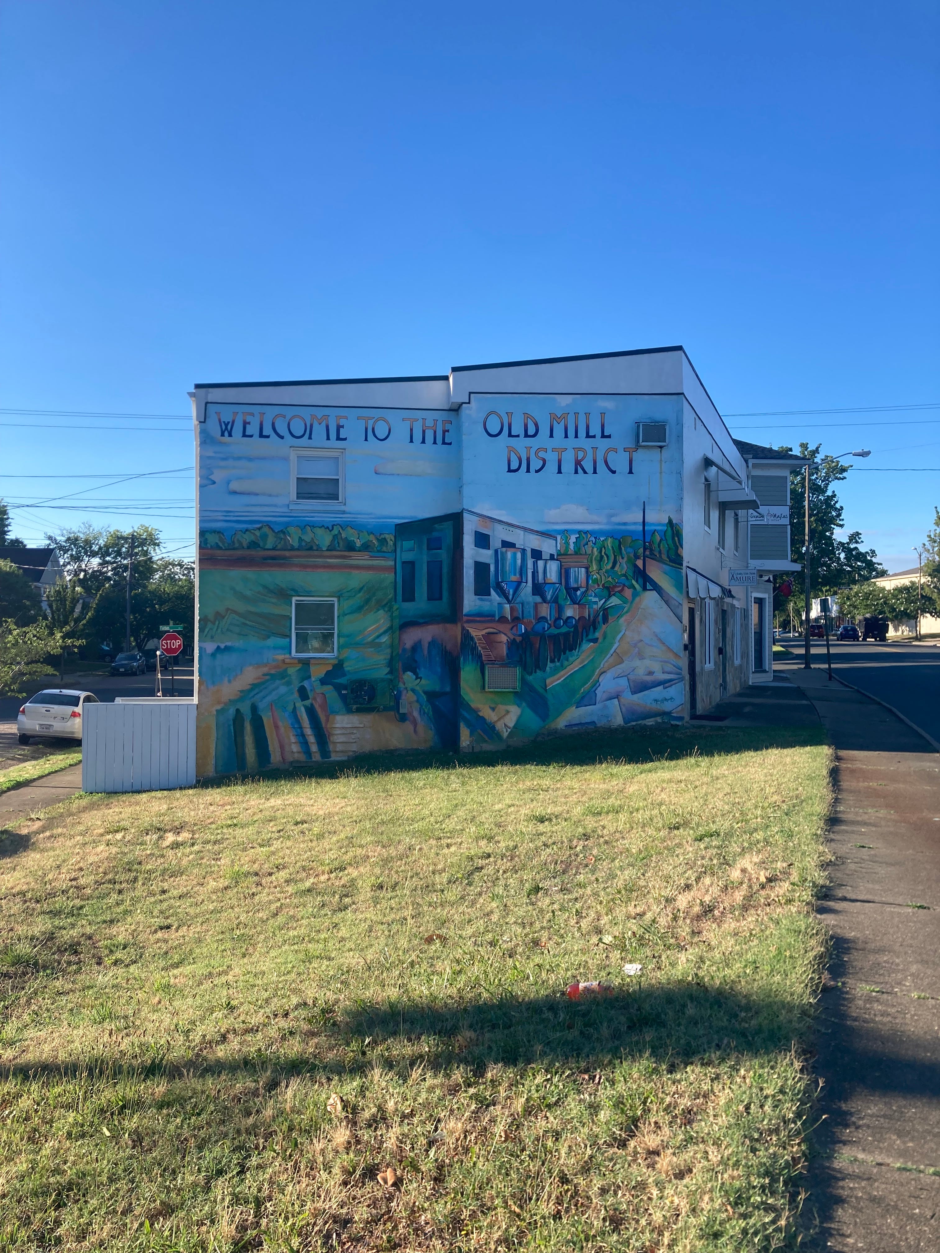
The Old Mill District is nice. Old, stylish storefronts. A mix of fifties Americana aesthetics and weird modern accents. Even though it’s beautiful it seems like a lot of places are closing. The closer you get to the center, roughly around the intersection of Williams and Caroline, things are more lively. I stop by a fancy, boutique camping store to see about picking up a pad, but they don’t open until noon. It’s not even 9.
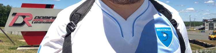
I walk along Lafayette out of town to head back towards the highway and eventually find a hiking trail that I think I can use. This turns out to be wrong and I lose a few hours. But around 12 I’m back on the 1, variously labeled the Jefferson Davis, Patriot or Emancipation Highway. Just below Fredericksburg I hit a Latino market for Gatorade and buy a ten dollar Guatemala jersey. The place also has an interesting array of jewelry with bedazzled AK-47’s next to Virgin Mary pendants.
The area below Fredericksburg is beautiful and calm and there’s a new atmosphere. My guess is the population density is lower, fewer houses, further back from the road, and denser forest but maybe I’m just imagining it. On this stretch, there’s a few amazing antique stores. No one seems to be manning the shop, but I look at the wares outside.
Back on the highway, I make my way to Thornburg where there is a Dollar General, the second of the day following one just outside of Fredericksburg. I want to try and buy a bathing suit, but this DG doesn’t sell them. It’s around midday now and I had planned to keep going, but I’ve seen several signs for Stonewall Jackson’s death site a few miles off the highway and I want to check it out. I check into a “Quality Inn” and drop my stuff off.
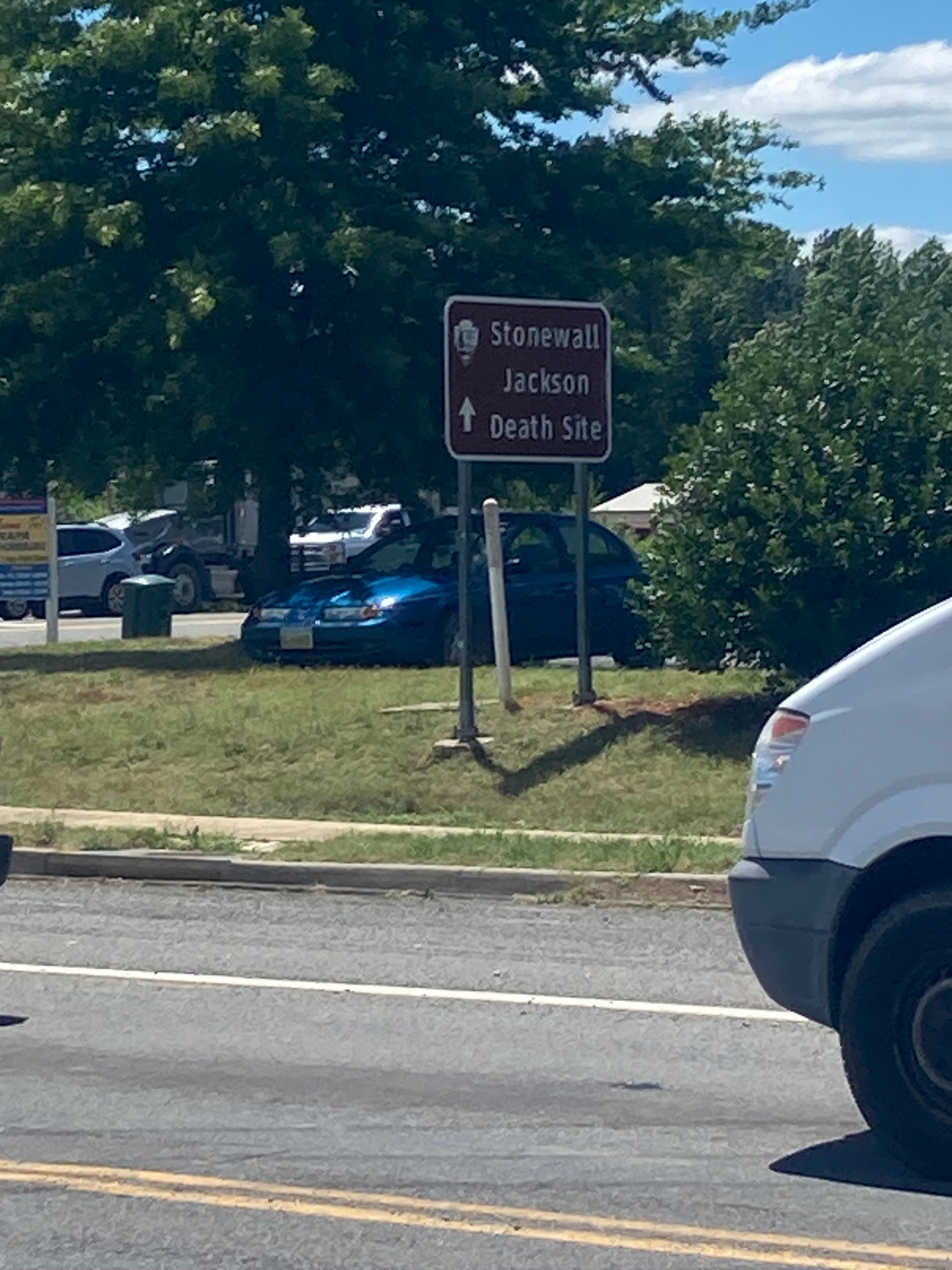
I am now walking on Mudd Tavern Road. A wonderful name. I walk two miles towards the death site and this might be the nicest part of the whole journey so far. The sky is incredibly blue and clear and I’m walking by farms. As I advance, the crops get higher and I see two memorials for people who died in car accidents by the side of the road and decide to turn around. Maybe I’ll take a cab to see Stonewall in the morning. I’ve been learning “Richmond is a Hard Road to Travel” on the ukulele and I figure maybe I’ll record myself singing it near the site.
I comfort myself from abandoning my side quest by downloading Rebel Yell, a biography of Stonewall by the same guy who wrote Empire of the Summer Moon. The book is excellent and Jackson is obviously a fascinating character. I’ll throw some quotes in here.
Along this part of the walk, I am accosted several times by trucks full of Latinos asking if I want a ride. The Guatemala jersey again. A brief window into immigrant solidarity. I should probably change.
On the way back to the hotel, I see a concert venue on Google Maps and I can’t make sense of it. There’s nothing around here, why would there be a club just a half mile off the highway? I take the half-mile detour and realize it is not a music venue at all but a NASCAR track with a bar inside. I’ve never seen a big race track like this before. It’s very interesting to look at but everything is closed. Due to the scale I couldn’t get any good pictures.
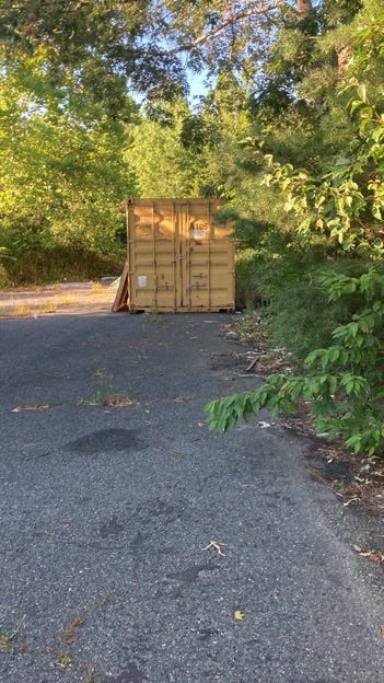
I go back to the hotel and practice my song. In a forest behind the hotel there are several abandoned shipping containers. I want to look inside them, but behind one I discover several homeless people sleeping in a tent.
Miles: Once again, I couldn’t get Google maps to track my exact route. It was closer to 18 miles.
Plod faith and fun meter: 7/10 perfectly fine.
DGs visited: 2!